New modeling framework projects how pressures on the global food system could impact cropland, pastureland and forests
By Mark Dwortzan | MIT Center for Sustainability Science and Strategy
The most recent land-use inventory of the United States shows that 29 percent of the nation’s land mass is used for grassland pasture and rangeland, 28 percent for forests and 17 percent for crops. But those numbers could change significantly in the coming decades. As climate change, population growth, economic development, and dietary shifts shape the global food system, they will inevitably alter how land is used at local, regional and global levels. Accurate projections of how these pressures will redraw the American land-use map will be critical for long-term management of the nation’s natural resources, from food and bioenergy supplies to conservation and ecosystem restoration. But current models produce land-use projections that are often too coarse or have limited predictive power.
Now researchers at the MIT Center for Sustainability Science and Strategy (MIT CS3) and the Pacific Northwest National Laboratory have developed a new modeling system to project at high spatial resolution the potential impacts of a range of global forces on land allocated to crops, pastures and forests. Based on the emerging discipline of multi-sector dynamics, the modeling system combines the strengths of a multiregional socio-economic model of the world economy (the MIT Economic Projection and Policy Analysis Model) with a versatile and efficient model (Demeter) that downscales land use to a 0.5° grid scale. In a nutshell, it translates regional projections of future land use into higher-resolution representations of time-evolving land cover.
Using this modeling system, the researchers investigate how global stressors might, alone or in combination, impact local and regional land use change in the U.S. between 2020 and 2050, with a focus on four sub-basins of the Mississippi River basin (MRB). Their modeling strategy and findings are presented in the journal Earth’s Future.
The study shows that under scenarios of high pressures on the global food system, the U.S. tends to increase pastureland area over the 30-year period while cutting into cropland. This trend is due to favorable conditions in the U.S for livestock production. Under low pressures on the global food system, agricultural land is used less intensively. However, land-use change patterns can differ at the regional and sub-basin scale.
Under a “perfect storm” of concerning high pressures on the global food system, including faster population and economic growth, negative climate impacts on crops and livestock, slow yield improvements and shifting diets toward animal-based protein, the Missouri river basin experiences a relatively large transition of corn and soybean land to pasture and grazing. In the Lower Mississippi basin, other crops transition to pasture and grazing land. The Ohio River basin undergoes a transition toward pasture and grazing land along with relatively large transitions from forest cover toward corn and soybean cropland.
“Our results show the value of high-resolution representation of land-use allocation for long-term natural resource planning,” says MIT CS3 Principal Research Scientist Angelo Gurgel, the study’s lead author. “Our modeling system can also be used to project future environmental impacts, including carbon storage, soil erosion, chemical use, hydrology and water quality.
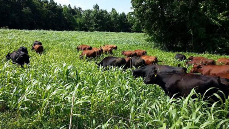
Photo: Researchers at the MIT Center for Sustainability Science and Strategy (MIT CS3) and the Pacific Northwest National Laboratory have developed a new modeling system to project at high spatial resolution the potential impacts of a range of global forces on land allocated to crops, pastures and forests. (Source: Open Access Government)


