Global navigation satellite systems (GNSS), which include GPS, are traditionally used for positioning, timing, and mapping information. In an open-access study published Feb. 27 in Geophysical Research Letters, MIT Haystack Observatory scientists report using existing GNSS satellites, in conjunction with 13 stations installed on the Ross Ice Shelf (RIS) in Antarctica, to measure atmospheric turbulence above the ice shelf that may have contributed to an unusual extensive surface melting in January 2016.
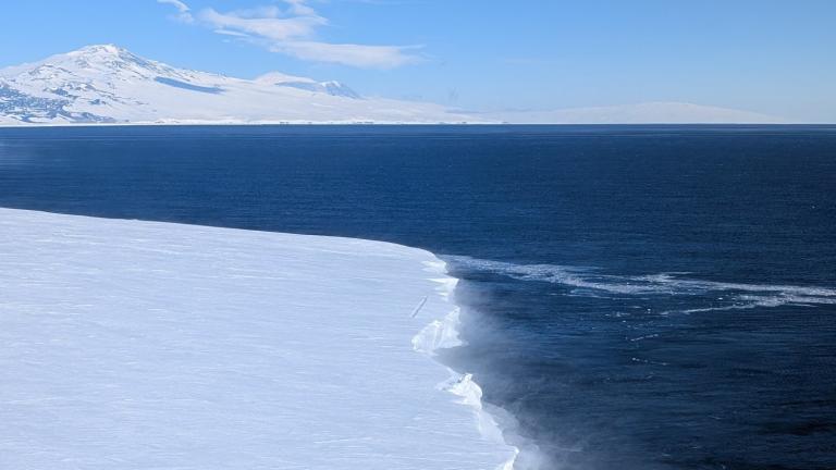
The RIS is a large, floating ice structure that fringes the western coast of Antarctica, buttressing the continental ice sheet. Normally, the RIS melts from underneath as warmer ocean water flows into its cavity underwater; in January 2016, warm, humid air caused an unusual melting event on the top side of the shelf. RIS stability is crucial to track, given that it regulates the amount of ice discharged into the ocean from Antarctica and thus significantly affects globally rising sea levels.
Understanding atmospheric conditions above the RIS helps to explain its surface melting events, but it is challenging to monitor these in situ due to dangerous conditions and the remote location.
Haystack scientists determined that a network of GNSS stations on the ice can be used to track atmospheric conditions above each station and across the network; water vapor in the lower atmosphere induces a delay in the GNSS signal that can be slightly different between stations, and changes over time. These spatial and temporal variations of water vapor allow researchers to track weather over the RIS and can be used to infer the strength (also called “rockiness”) of atmospheric turbulence.
During the unusual RIS surface melting event, the GNSS station data indicated turbulence at a level four times greater than usual. This novel application of the GNSS network systems to measure atmospheric conditions allows scientists to monitor distant, life-threatening locations remotely.
“In January 2016, Antarctica experienced a significant widespread summer melting, driven by the warm air intrusion from the Southern Ocean. Our study showed that atmospheric turbulence may have helped mix the air mass and aggravated the surface melting,” says Haystack Research Scientist Dhiman Mondal. “We can use a GNSS network as an atmospheric turbulence sensor and monitor the health of the ice sheets where meteorological measurements are sparse.”
MIT Haystack Observatory also recently developed and tested an instrument, the seismogeodetic ice penetrator, which will contribute to monitoring the atmospheric turbulence in Antarctica. Haystack scientists also plan to use this method of GNSS systems to monitor ice melt above the Greenland Ice Sheet.
Pedro Elosegui, head of the Haystack geodesy department, says, “The colossal Antarctic ice shelves, such as the RIS, are (generally) thinning and retreating. They lose mass by calving icebergs — some rather spectacularly, by collapsing — and by basal melting due to the interaction of warm and salty ocean waters. We found that the RIS can also lose mass to surface melting caused by warm and humid air from the Ross Sea, which brought about enhanced atmospheric turbulence and may have further strengthened the melting.”